Cycling circuit C20: Between the principality of Salm and the county of Ban de la Roche
Cycling circuit C20: Between the principality of Salm and the county of Ban de la Roche

Duration All day Length 47 Km Vertical rise 1094 m Difficulty Intermediate Departing from Schirmeck
To the start
To the start
Description
Description
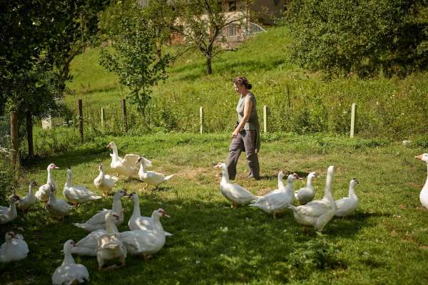
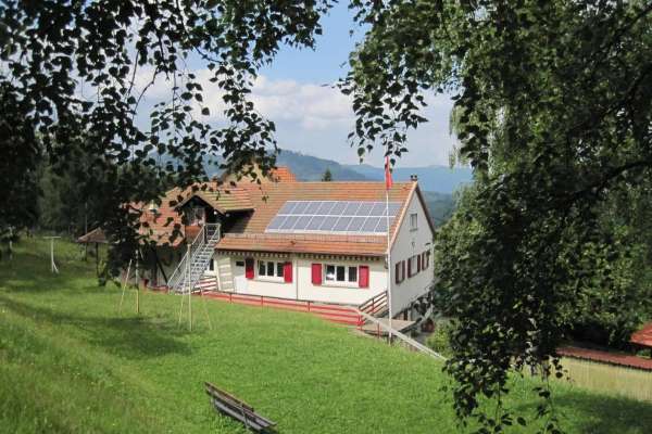
Straddling the eastern and western slopes of the Bruche valley, this route takes you to the former principality of Salm, where you will pass through beautiful forests and centuries-old pastures, and to the former county of Ban de la Roche, with its traditional architecture at the foot of the Champ du Feu massif. View map
Further information
Latitude 48.478397660524
Longitude 7.2185662142436
Elevation 1094 m
Duration All day
Lenght 47 Km
Level of difficulty Intermediate
Car park Parking Place du marché
Departure point Bruche Valley Tourist Office
Nearest station Schirmeck - La Broque