📢 New! “Hel’eau la Bruche”, a geolocated network of water points to fill your water bottle!

Cycling circuit C15: Around Promont

  • OTVB / S. SPACH
Duration All day Length 41 Km Vertical rise 870 m Difficulty Intermediate Departing from Schirmeck
To the start

Description

Description

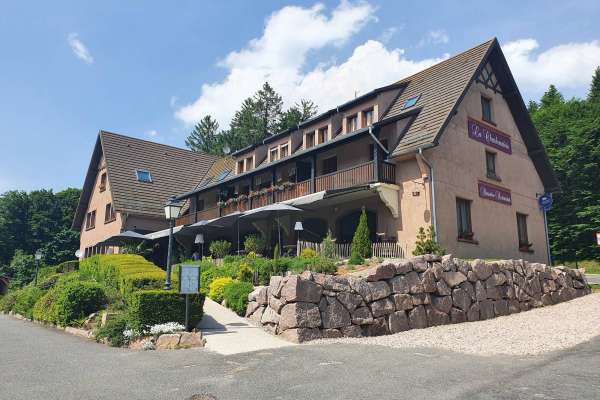
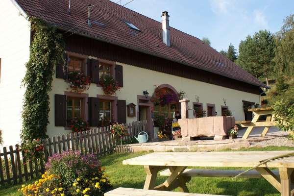
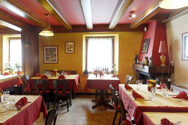
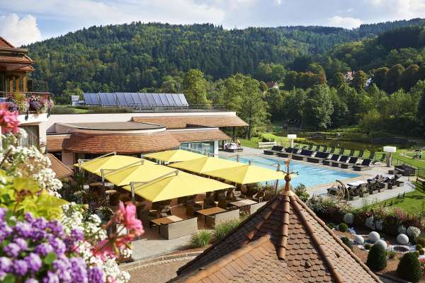
Leave Schirmeck along the cycle path to Fouday. Take the D57 road to the Col de la Charbonnière that winds its way over the mountain and features some breathtaking views. Enjoy a tasty break in one of the restaurants along the way. View map

Further information

Latitude 48.478388770309
Longitude 7.2184052817026
Elevation 870 m
Duration All day
Lenght 41 Km
Level of difficulty Intermediate
Car park Parking at Place du Marché
Departure point Bruche Valley Tourist Information Office
Nearest station Schirmeck

Nearby

  • Plaine

    Restaurant de la Promenade

    Sauerkraut, Baeckeoffe à la carte Flammekueche available on weekends in the evening

  • Bellefosse

    Restaurant Auberge de la Charbonnière

    Host your meals with family or friends in this eatery in a lovely and peaceful green haven in Champ du Feu at the foot of the ski pistes in winter an...

  • Ranrupt

    Ferme auberge du Promont

    Located in the heart of the forest near the GR531 hiking trail. Specialities: unique menu made using farm produce. Homemade desserts, dairy products. ...

  • La Broque

    Restaurant Auberge du Pont des Bas

    Flammekueche available every evening (available at lunchtime for groups reserving ahead). Grilled meat and cold dishes available at lunchtime

  • Fouday

    Café J


    Share your experience

    comments powered by Disqus