Cycling circuit B05: From Fouday to Grendelbruch
Cycling circuit B05: From Fouday to Grendelbruch

Duration All day Length 47 Km Vertical rise 936 m Difficulty Intermediate Departing from Schirmeck
To the start
To the start
Description
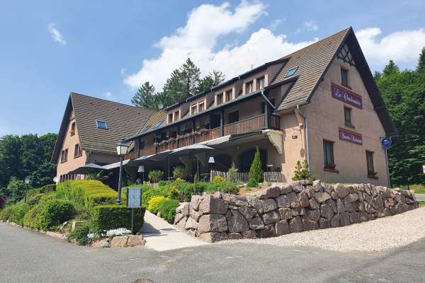
Clément suggests this pleasant walk, which will take you to new heights! You'll follow the banks of the Bruche, cross the former county of Ban de la Roche and then reach the Champ du Feu, the highest point in the Bas-Rhin. Finally, you'll start the descent to Grendelbruch, a mountain village close to our valley. View map
Further information
Latitude 48.478372767919
Longitude 7.2185769430796
Elevation 936 m
Duration All day
Lenght 47 Km
Level of difficulty Intermediate
Car park Parking Place du Marché
Departure point Bruche Valley Tourist Office
Nearest station Schirmeck - La Broque