Hiking trail C03: The heights of Ban de la Roche
Hiking trail C03: The heights of Ban de la Roche
Duration Half-day Length 11 Km Vertical rise 300 m Difficulty Intermediate Departing from Fouday
To the start
To the start
Description
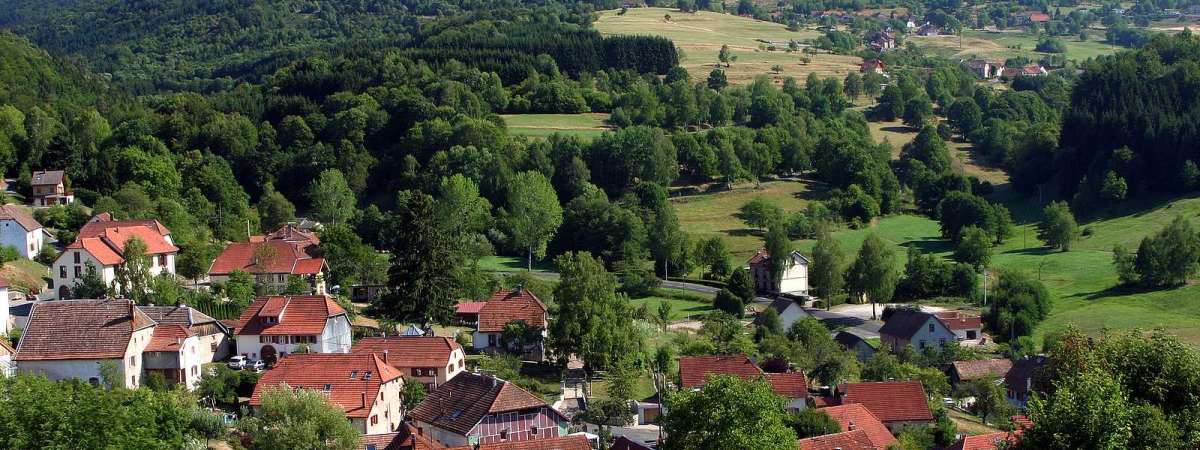
This stunning walk through the Vosges mountains is itself an open-air history book. From Fouday, the trail rises towards Solbach and the legendary Col de la Perheux to reach the green landscapes around Belmont before going back down to Waldersbach and then Fouday. The church with a 13th century Romanesque spire is now a Protestant church with the grave of Pastor Oberlin next to it. View map
Further information
Latitude 48.425035633498
Longitude 7.1876246124421
Elevation 300 m
Duration Half-day
Lenght 11 Km
Level of difficulty Intermediate
Car park Parking at Fouday station
Departure point Fouday station
Nearest station Fouday


