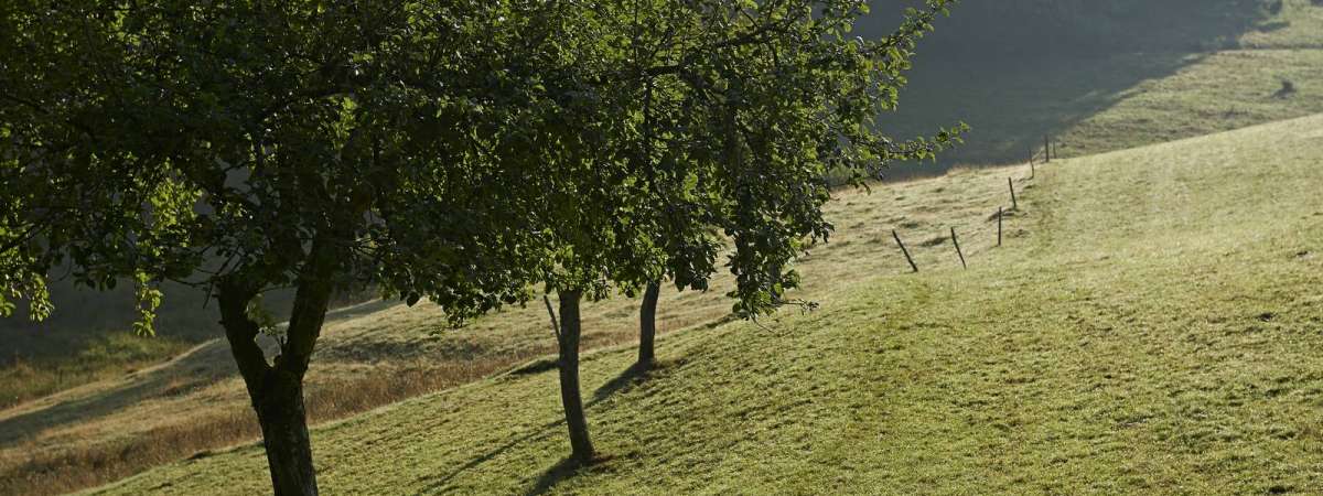
Cycling circuit C16: On the slopes of Salm
Cycling circuit C16: On the slopes of Salm
Description
From Schirmeck, set off towards the village of Vacquenoux before reaching the cuckoo lake. Enjoy a quick break at the waterside. The trail runs near Salm, an area where an Anabaptist community known as the Mennonites lived from 1708. After taking in Plaine, the trail returns to Schirmeck on the cycling trail alongside the River Bruche. View map
Further information
Latitude 48.478337991764
Longitude 7.2184235975533
Elevation 483 m
Duration 3h
Lenght 29 Km
Level of difficulty Easy
Car park Parking at Place du Marché
Departure point Bruche Valley Tourist Information Office
Nearest station Schirmeck


