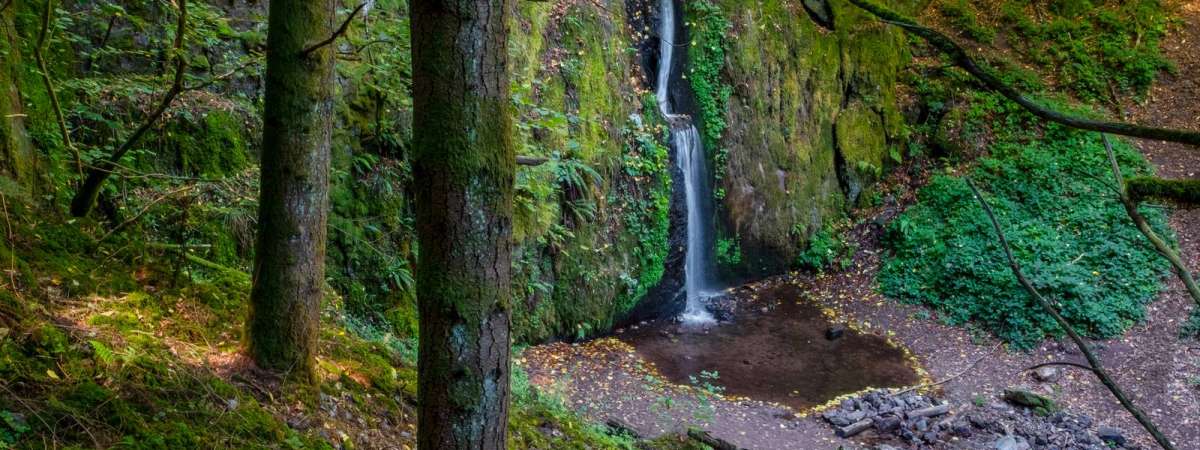
Hiking trail B16: The Soultzbach waterfall
Hiking trail B16: The Soultzbach waterfall
Description
Along the way you can see the Ruchfels rock, the Soultzbach waterfall, as well as a water hole called "Salzloch", which has given rise to numerous legends. Some say it is bottomless, while others claim it is linked to the sea...! View map
Further information
Latitude 48.526824789244
Longitude 7.3251384933929
Elevation 216 m
Duration 2h30 min
Lenght 9 Km
Level of difficulty Easy
Car park Parking at the Town Hall & village hall
Departure point In front of the Town Hall
Nearest station Urmatt


