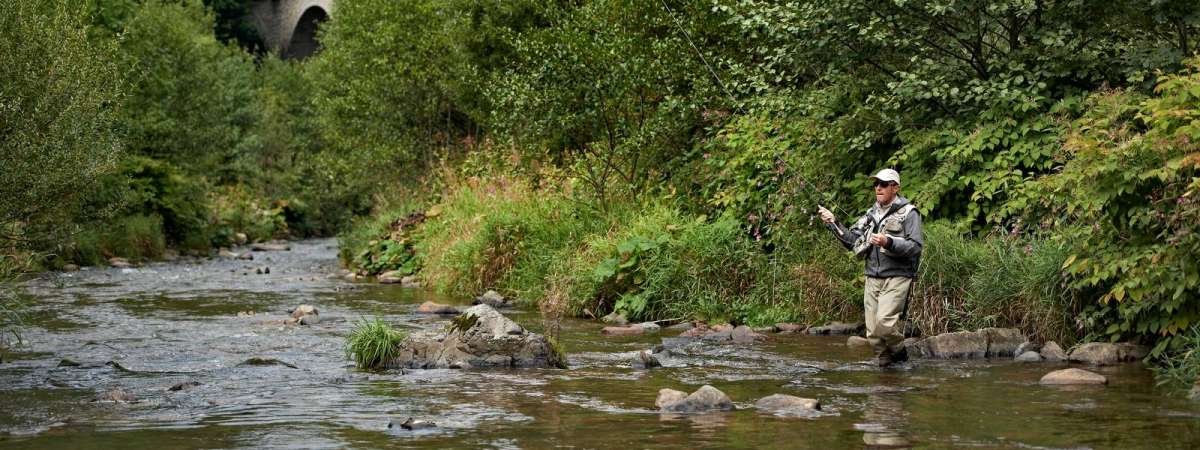
Hiking trail H09: The banks of the Bruche
Hiking trail H09: The banks of the Bruche
Duration All day Length 17 Km Vertical rise 653 m Difficulty Expert Departing from Saint Blaise la Roche
To the start
To the start
Description
Deep in the valley, St-Blaise-la-Roche's population soared in the 19th century with the establishment of the weaving and spinning industries and great saw mills. The town also lies on the first Strasbourg-Saâles-St-Dié-des-Vosges railway line inaugurated in 1929 by Raymond Poincaré. Several road structures (including the Fouday Viaduct downstream) saw the creation of the first railway breakthrough in the Vosges. View map
Further information
Latitude 48.40729874957
Longitude 7.1657817429966
Elevation 653 m
Duration All day
Lenght 17 Km
Level of difficulty Expert
Car park Railway Station Parking
Departure point St Blaise la Roche railway station
Nearest station St Blaise la Roche


