Hiking trail C13: Champenay sandstone
Hiking trail C13: Champenay sandstone
Duration All day Length 17 Km Vertical rise 546 m Difficulty Challenging Departing from Plaine
To the start
To the start
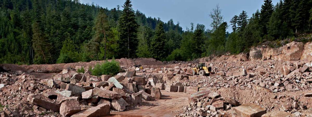
Champenay is well known for its quartzite sandstone quarry. This a red sandstone with white veins, known as "Princes sandstone", in reference to the region's former status as the Principality of Salm. At the trail's summit (the crest between the Col du Hantz and the Chemin des Allemands) are the old border posts between France and Germany dating from 1870-1918. Lastly, the trail goes through the refreshing Falle valley and past the lake of the same name.
Further information
Latitude 48.415960575882
Longitude 7.1239826207691
Elevation 546 m
Duration All day
Lenght 17 Km
Level of difficulty Challenging
Car park Parking at Champenay school
Departure point Champenay School
Nearest station Saint Blaise-la-Roche


