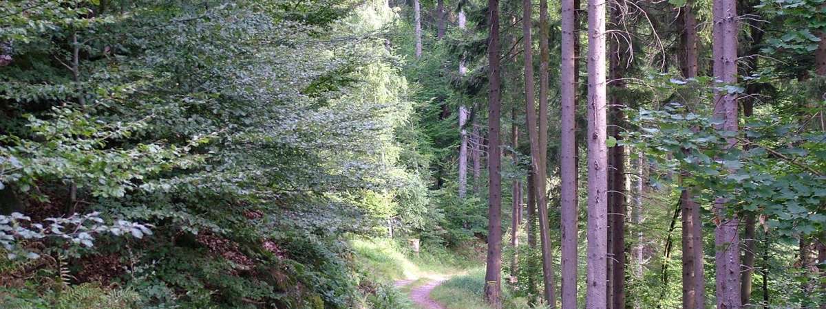
Hiking trail B08: The marble quarry
Hiking trail B08: The marble quarry
Duration All day Length 11 Km Vertical rise 450 m Difficulty Challenging Departing from Russ
To the start
To the start
Description
A walk for experienced hikers to discover the area's geological treasures. Rocher de la Marbrière is a rock named after a deposit of high-quality marble that used to be mined there. This site once had a sort of bottomless crater. Unfortunately it was filled in during forest work in the 1970s. Today, the marble deposit is barely visible. View map
Further information
Latitude 48.495839623946
Longitude 7.2585788189797
Elevation 450 m
Duration All day
Lenght 11 Km
Level of difficulty Challenging
Car park Parking at Place de la Mairie
Departure point Place de la Mairie (Place des Tilleuls)
Nearest station Russ-Hersbach


